

Watendlath Fell [Long Moss]
Good walks are even better shared.
NY2814 : Fence Corner, Long Moss
Mick Garratt Photo source
Overview
Watendlath Fell [Long Moss]
Overview
Nestled in the heart of the Lake District, Watendlath Fell (also known as Long Moss) stands proudly at an elevation of 352 meters. With breathtaking views and relatively accessible hiking routes, it's a must-visit for outdoor enthusiasts.
Geology
Watendlath is primarily made up of volcanic rock from the Borrowdale Volcanic Group. These rugged rocks are a testament to the powerful geological forces that shaped this region millions of years ago. The terrain showcases a rich ecology, making it an ideal habitat for various plants and wildlife.
Routes
The most popular route to the summit starts at Watendlath village, where well-marked paths guide you through stunning moorland scenery. The route is approximately 4.5 km and typically takes around 2 hours to complete, classified as moderate, making it suitable for most walkers. Just remember to pace yourself—after all, you don’t want to miss the stunning views by huffing and puffing!
Summit Features
At the summit, hikers will find a modest cairn and a sturdy trig point, serving as both navigation points and perfect photo ops. The views from the top are nothing short of spectacular—just be careful not to drop your sandwich while gazing in awe!
Terrain Type
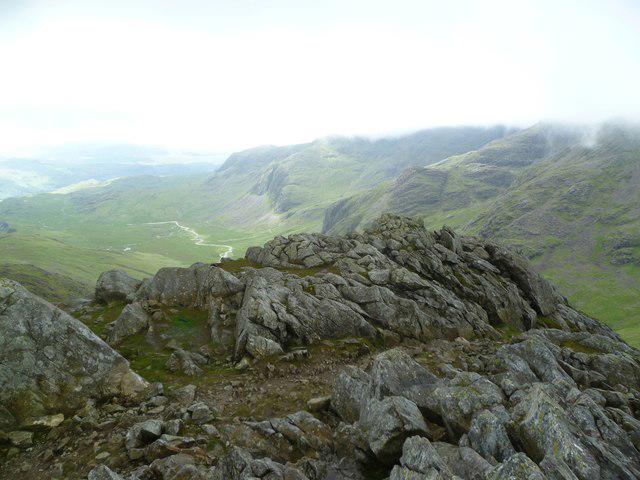
The terrain is a delightful mix of grassy slopes peppered with rocky outcrops and boggy patches. While the paths are generally well-trodden, it's advisable to watch your step and tread carefully in wet conditions.
Views
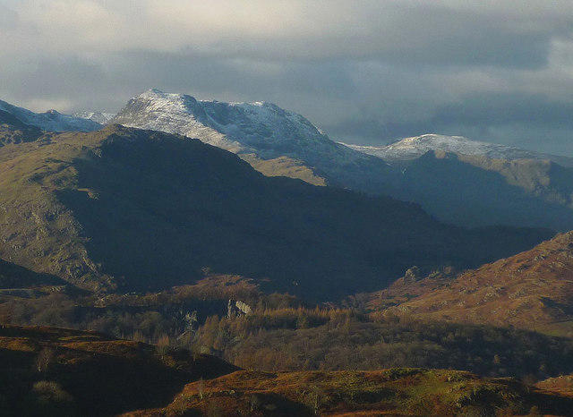
On a clear day, the vista from the summit showcases the Scafell range, Derwentwater, and the surrounding valleys' undulating hills. The best seasons for viewing are spring and early summer when wildflowers bloom, though autumn offers a medley of rich colours that could leave even the most avid hiker spellbound.
Hazards
Hikers should be aware of potential hazards including sudden weather changes and uneven terrain. Rain can make paths slippery, so bring appropriate footwear to avoid any unexpected slips and trips.
Nearby Summits
Nearby peaks include Lingmell at 800 meters and Glaramara at 783 meters, both offering additional exploration opportunities in the area.
Access
Nearest Parking
You’ll find a small car park near Watendlath Lake, providing easy access to the hiking paths.
Public Transport
Public transport is also an option, with bus services from the charming town of Keswick to Watendlath.
Nearest Town
Keswick, just a stone's throw away, offers services and amenities to make your visit enjoyable.
Facilities
The beautiful village of Watendlath features a lovely tea room and public toilets, ideal for a pre-hike cuppa or a post-hike slice of cake!
History
Name Meaning
The name 'Watendlath' finds its roots in Old Norse, meaning 'the lake of Wætan', nodding to the area's rich historical tapestry.
Significance
Watendlath Fell has long attracted artists and poets, celebrated for its stunning beauty and cultural resonance. It’s a place where nature inspires creativity, so pack your sketchbook if you're feeling artsy!
In conclusion, Watendlath Fell [Long Moss] offers a rewarding hike for all levels, with stunning views and a touch of Lake District charm. Don't forget your camera!
Happy hiking!
Explore routes near Watendlath Fell [Long Moss]
Walks starting near this hill. Open a route to check its map, distance and full itinerary.
Scafell Pike from Seathwaite via the Corridor Route
View route
Derwentwater Walk: full lakeside circuit from Keswick
View route
Bow Fell from Langdale
View route
Helvellyn via Striding Edge
View route
Route planning notes
These notes describe possible approaches. Check a route's map and access information when planning your walk.
Watendlath to the Summit
A delightful ascent from the picturesque village of Watendlath, leading hikers along well-trodden paths through scenic moorland.
Make a day of it, together
Find someone to share the walk with, or organise a day out along a route you like.
Photo Gallery
View all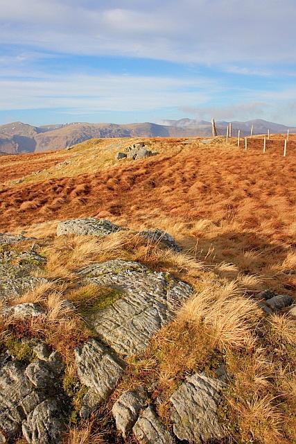 Photo could not load
NY2814 : Fence Corner, Long Moss
Mick Garratt
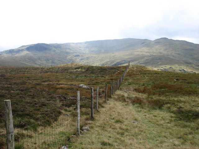 Photo could not load
NY2814 : On Watendlath Fell
David Purchase
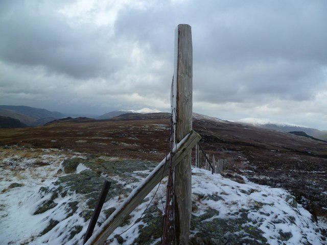 Photo could not load
NY2814 : Watendlath Fell
Michael Graham
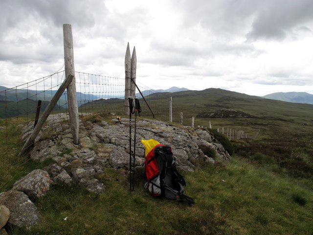 Photo could not load
NY2814 : Watendlath Fell
Rude Health
Hill facts and local notes
Classifications
Elevation
515m
1,690 ft
Prominence
15m
Coordinates
54.5241, -3.0999
NY289148
OS Map
89 90
Explorer: OL4S
At the Summit
The summit features a modest cairn, a trig point, and fantastic panoramic views that may just make you want to stop and sip your tea (though don't spill it!).
Terrain & Geology
Primarily composed of volcanic rock from the Borrowdale Volcanic Group, providing a rugged landscape that boasts some awe-inspiring views.
Views & Scenery
From the summit, you can see the distant peaks of the Scafell range, Derwentwater, and the rolling hills of the surrounding valleys.
History & Heritage
Name Origin
The name 'Watendlath' is derived from Old Norse, meaning 'the lake of Wætan', linking the location to historical settlements.
Historical Significance
Watendlath Fell has significant cultural connections, often visited by artists and poets, showcasing the beauty of the Lake District.
Getting There & Facilities
Parking
A small car park located near Watendlath Lake allows for easy access to the footpaths leading to the fell.
Public Transport
The nearest bus service operates from Keswick to Watendlath, providing a scenic ride through the Lake District.
Nearby Facilities
There are no facilities directly on the fell, but nearby Watendlath offers a quaint tea room and public toilets.
Safety Information
Known Hazards
- Be wary of sudden weather changes, as conditions can shift rapidly. Also, watch for uneven terrain and slippery rocks, especially after rain.
General Safety Tips
- Check weather conditions before setting out
- Carry appropriate clothing and equipment
- Let someone know your planned route
- Take a map, compass, and GPS device
- Carry emergency supplies: food, water, first aid kit, torch
Hills
Some common questions about the hills answered
Are there group walks up Watendlath Fell [Long Moss]?
Many walkers use Walkmates to join or organise walks with others. You can check for group walks around Watendlath Fell [Long Moss] through the maps
Are there other walkers around Watendlath Fell [Long Moss]?
Activity varies by location and time, but Walkmates lets you see whether others have shared walks or shown interest in this area. Find other people through the walking friends search walking friends for Watendlath Fell [Long Moss] search or of course create your own walk for Watendlath Fell [Long Moss]
Can I organise a walk to Watendlath Fell [Long Moss]?
Yes. If there aren’t any walks listed already, you can create a walk and make it available for others to join.
If you're signed up to Walkmates, you can create a walk to Watendlath Fell [Long Moss].
How do I find a walk up this hill?
There are often multiple ways to walk this hill, depending on experience and route preference. Walkmates helps you explore walks and routes that others have shared.
Can I suggest a new route up Watendlath Fell [Long Moss]?
Yes. You can suggest or create routes to share with others. Walkmates focuses on the social side of walking, so routes are used to help people organise walks and explore areas together, rather than as detailed navigation tools or route libraries.
Other uses really appreciate knowledgeable walkers sharing their routes. Share your favourite route to Watendlath Fell [Long Moss] here
The is an error or something incorrect about this hill. How do I let you know?
We always strive to keep the information on Walkmates as accurate as possible. If you find an error, please let us know through the contact form and we'll aim to correct it as quickly as possible
Community Discussion
Comments
Location
![Watendlath Fell [Long Moss] location map](https://cdn.walkmates.com/hill-maps/hill-sources/3750/54.52405_-3.09990.png)
Grid reference: NY289148
View on OpenStreetMapOpens a map in a new tab, centred on the hill.

No comments yet. Be the first.